GIS Based Asset Management & Tracking System.
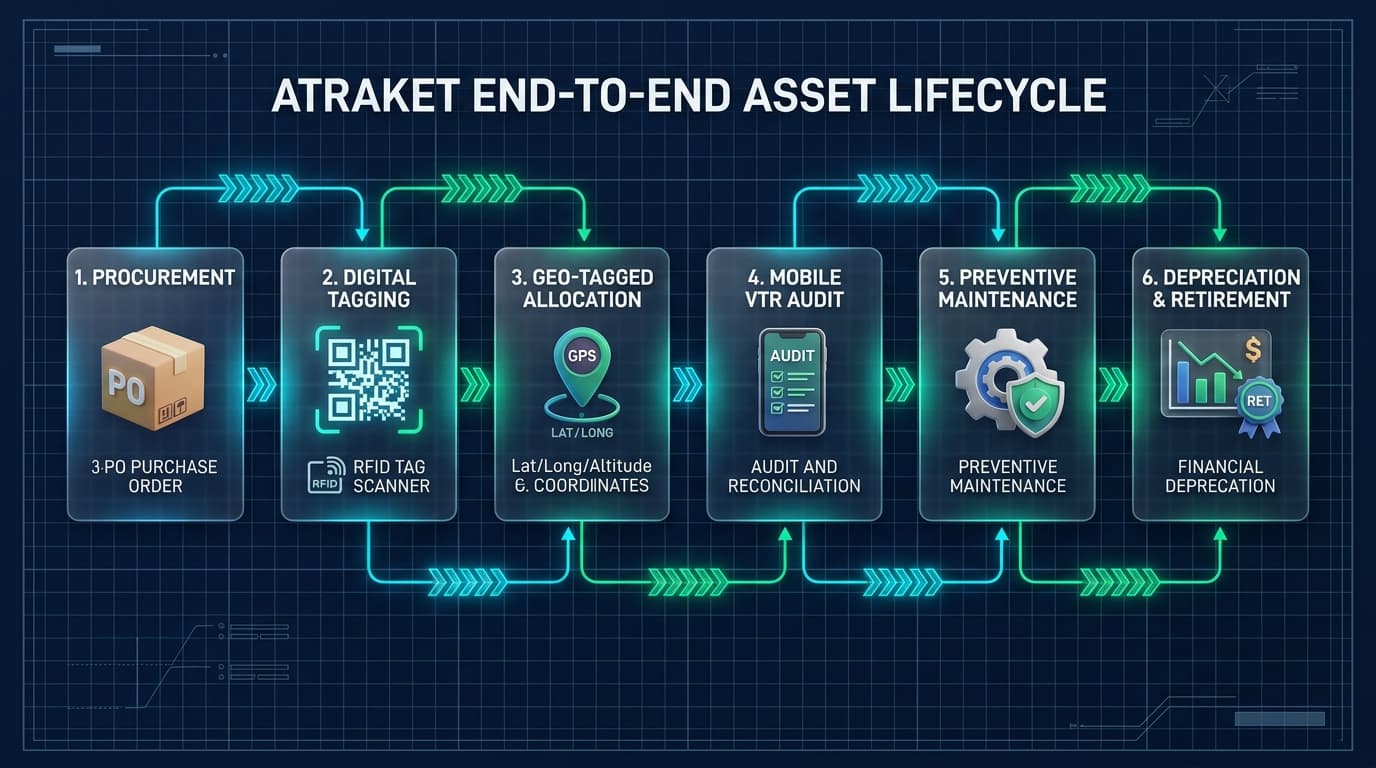
Powered by our flagship product Atraket™, every building, utility installation, machine, valve, pump, and fleet vehicle across your enterprise is mapped with exact Latitude, Longitude & Altitude — enabling your team to visualize the entire network on a live GIS map and manage every asset seamlessly from Purchase → Tagging → Allocation / Installation → Audit → Maintenance → Retirement.
Every building & asset pinned with exact Latitude, Longitude & Altitude so you see your whole network on one map.
Find any asset in seconds—both on the digital GIS map and physically on the ground via QR/RFID & GPS navigation.
See Your Entire Asset & Building Network in One Map View
Every stationary building, underground utility, elevated tank, and moving vehicle is pinned with 3-dimensional geospatial precision.

Multi-Floor & Altitude Mapping
By capturing Altitude (Z-elevation) alongside Latitude & Longitude, Atraket distinguishes between basement pumps, rooftop solar panels, and 30m overhead water tanks.
Complete Network Topology View
Industries and utilities see their entire connected network—pipelines, cables, valves, transformers, and buildings—color-coded by operational status on the map.
Fixed Registry + Live Fleet GPS
Tracks stationary infrastructure (plants, valves, IT furniture) alongside moving assets (water tankers, maintenance vans, cranes) with geo-fencing alerts.
Instant Search & Turn-by-Turn Route
Type any Asset ID or scan a tag to highlight its exact pin on the GIS map and launch turn-by-turn GPS walking/driving directions to reach it physically.
From Purchase to Tagging, Installation, Audit, Maintenance & Retirement
Every stage of an asset's life is maintained seamlessly in Atraket so teams always know what they own, where it is, and its exact condition.
Allocate / Install with Latitude, Longitude & Altitude
When the asset is allocated to a department, building, or field site and installed, Atraket captures its exact 3D geospatial coordinates—Latitude, Longitude, and Altitude (elevation/floor)—along with installation photos.
Whether an asset is on the 4th floor of a building, atop a 30m ESR tank, or buried 3m underground, its 3D coordinate pinpoints it on the map.
WATCO Puri — City-Wide GIS Asset Mapping & Lifecycle Management
How WATCO Puri Maps & Manages Every Asset with Atraket
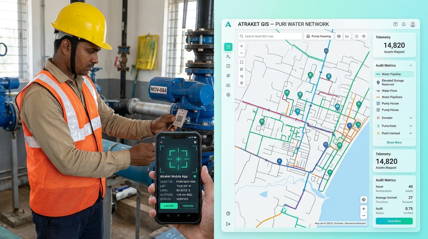
In WATCO Puri, YoByTech implemented Atraket GIS Asset Management to digitize and map every single municipal water asset across the city—from treatment plant buildings and overhead ESR reservoirs to pumps, motorized valves, flow meters, and underground distribution nodes:
1. 3D GIS Mapping (Latitude, Longitude & Altitude)
Every pump house, ESR tank, valve chamber, and office building in Puri is pinned with exact GPS Latitude, Longitude, and Altitude so engineers can see the entire city water network on a single interactive map.
2. QR / RFID Tagging & Instant Physical Identification
Each asset is tagged physically on-site. Field engineers scan the tag with the Atraket app to view installation date, specifications, and maintenance history—or click any asset on the map to navigate directly to it on the ground.
3. Full Lifecycle: Purchase → Install → Audit → Maintenance → Retired
Maintains an unbroken digital chain from procurement and store allocation to geo-fenced VTR audits, preventive maintenance scheduling, and retirement.
Other Industries We Serve
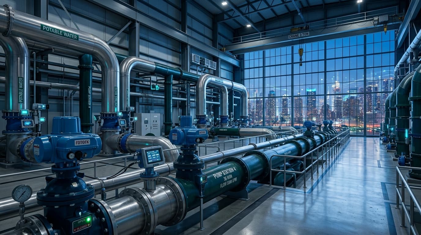 Water & Utilities
Intelligent Water Management (WATER OS) — From Source Directly to the Tap
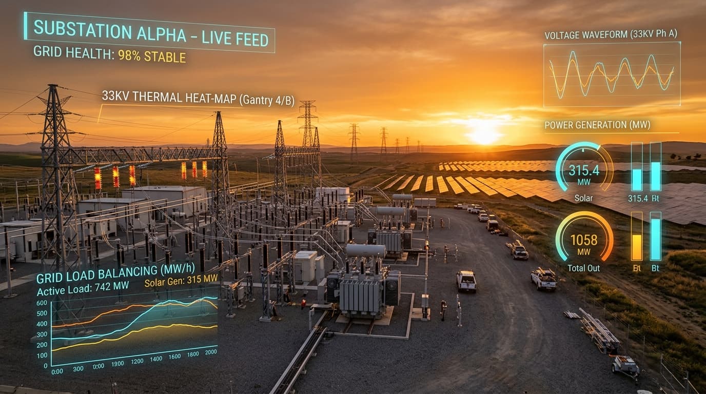 Energy & Power
Powering the Future of Energy with Smart Grid & Substation Intelligence
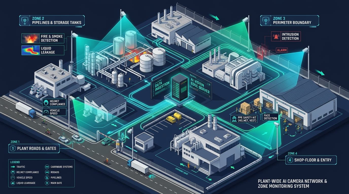 Manufacturing & Safety
AI Vision Based Safety Analysis — Road Safety, Hazard/Leakage, Intrusion & People Behavioral Analysis
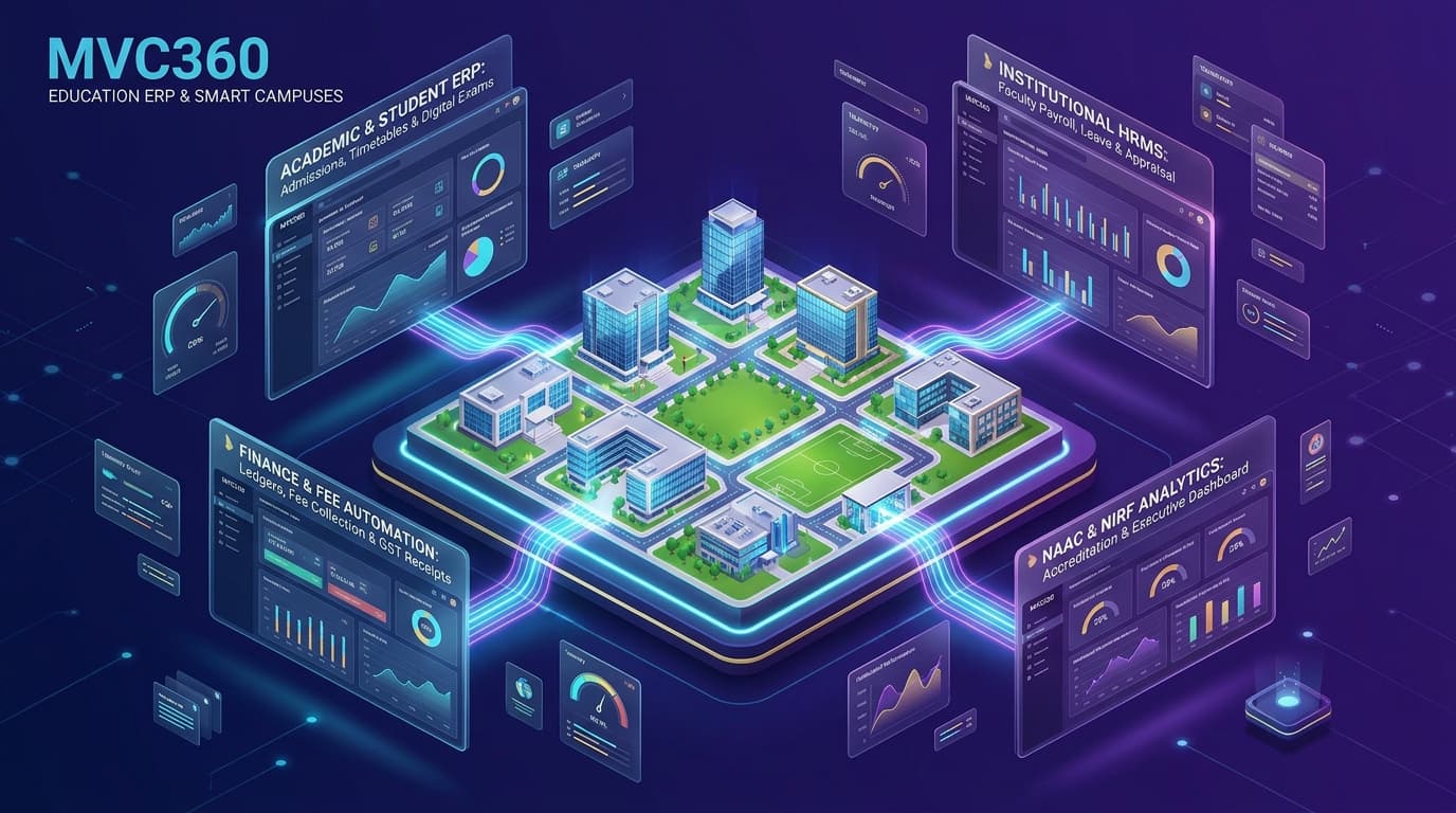 Education & Campuses
Powered by our flagship product MVC360™ — The All-in-One Cloud ERP & Smart Campus Automation Ecosystem for Universities, Autonomous Colleges & Schools
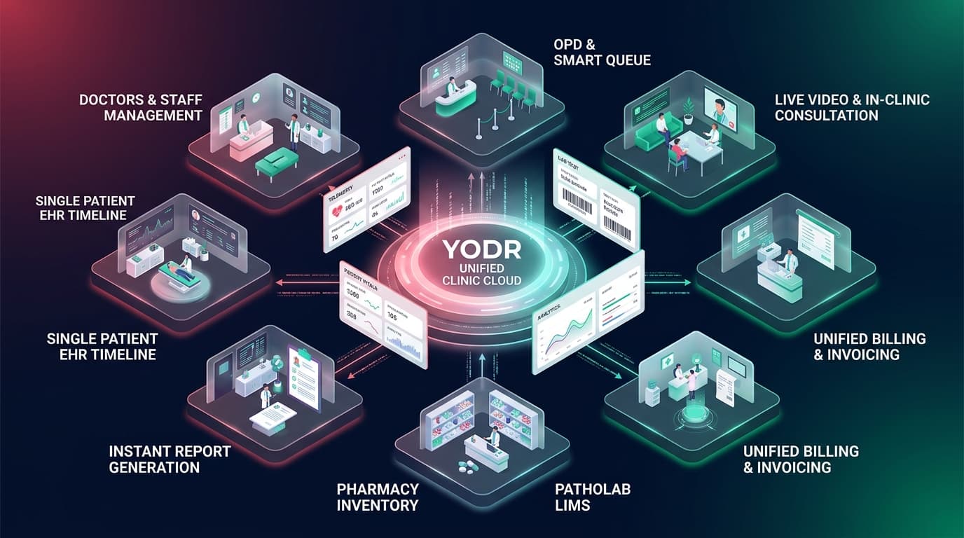 Healthcare & Hospitals
Powered by YODR™ (Developed for NXHT Healthcare & Research) — All Clinic Data in One Place